


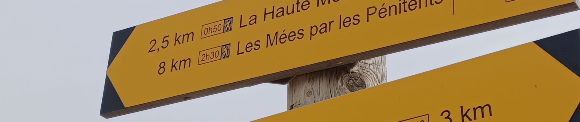
LES MEES CIRCUIT DES PENITENTS . LA HAUTE COTE . LA HAUTE MONTAGNE . SAINT ANTOINE . N

RobinMicheline
User GUIDE


Length
14 km

Max alt
829 m

Uphill gradient
470 m
Km-Effort
20 km

Min alt
418 m

Downhill gradient
470 m
Boucle
Yes
Creation date :
2023-10-23 06:53:02.774
Updated on :
2023-10-26 05:29:26.626
4h08
Difficulty : Medium

FREE GPS app for hiking
 SityTrail
IGN / Geographical institutes
SityTrail Plus
The world is yours!
About
Trail Walking of 14 km to be discovered at Provence-Alpes-Côte d'Azur, Alpes-de-Haute-Provence, Les Mées. This trail is proposed by RobinMicheline.
Photos


Positioning
Country:
France
Region :
Provence-Alpes-Côte d'Azur
Department/Province :
Alpes-de-Haute-Provence
Municipality :
Les Mées
Location:
Unknown
Start:(Dec)
Start:(UTM)
738445 ; 4879416 (31T) N.
Comments